Main Output
-
Big Data Analysis
City Metrics Development
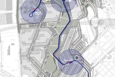
Micro Mobility Planning
Disruptive Mobility Systems Provisioning
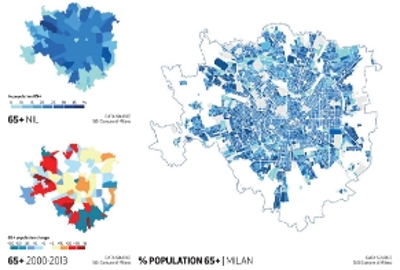
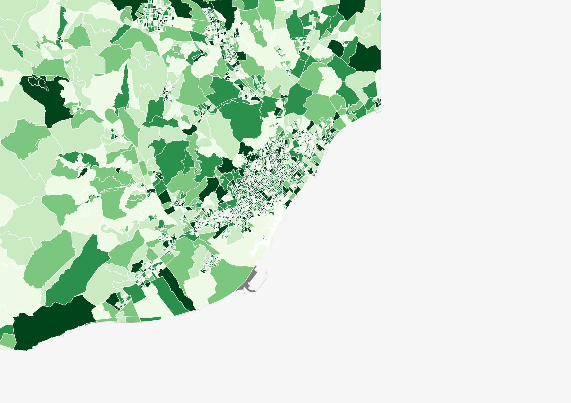
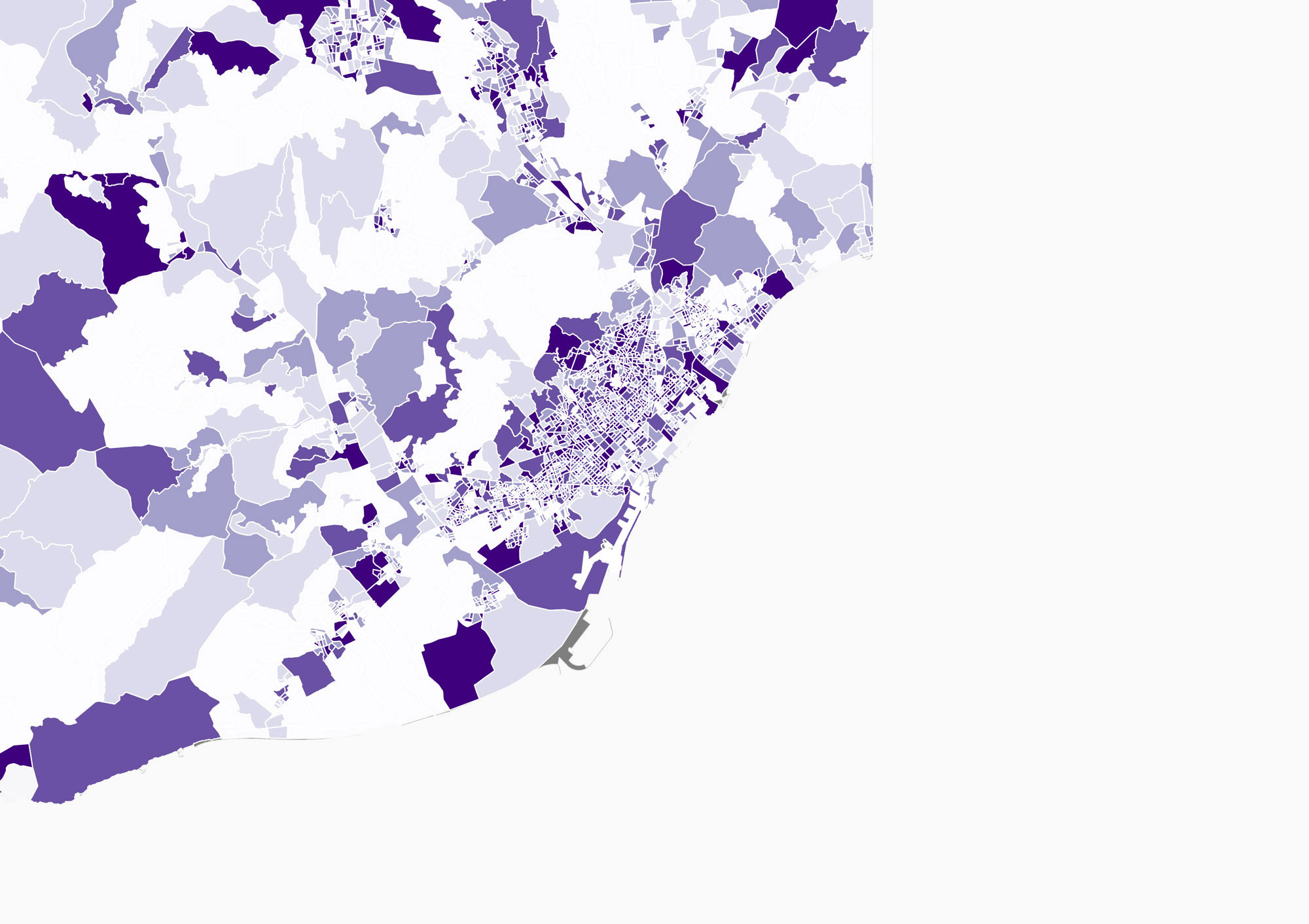
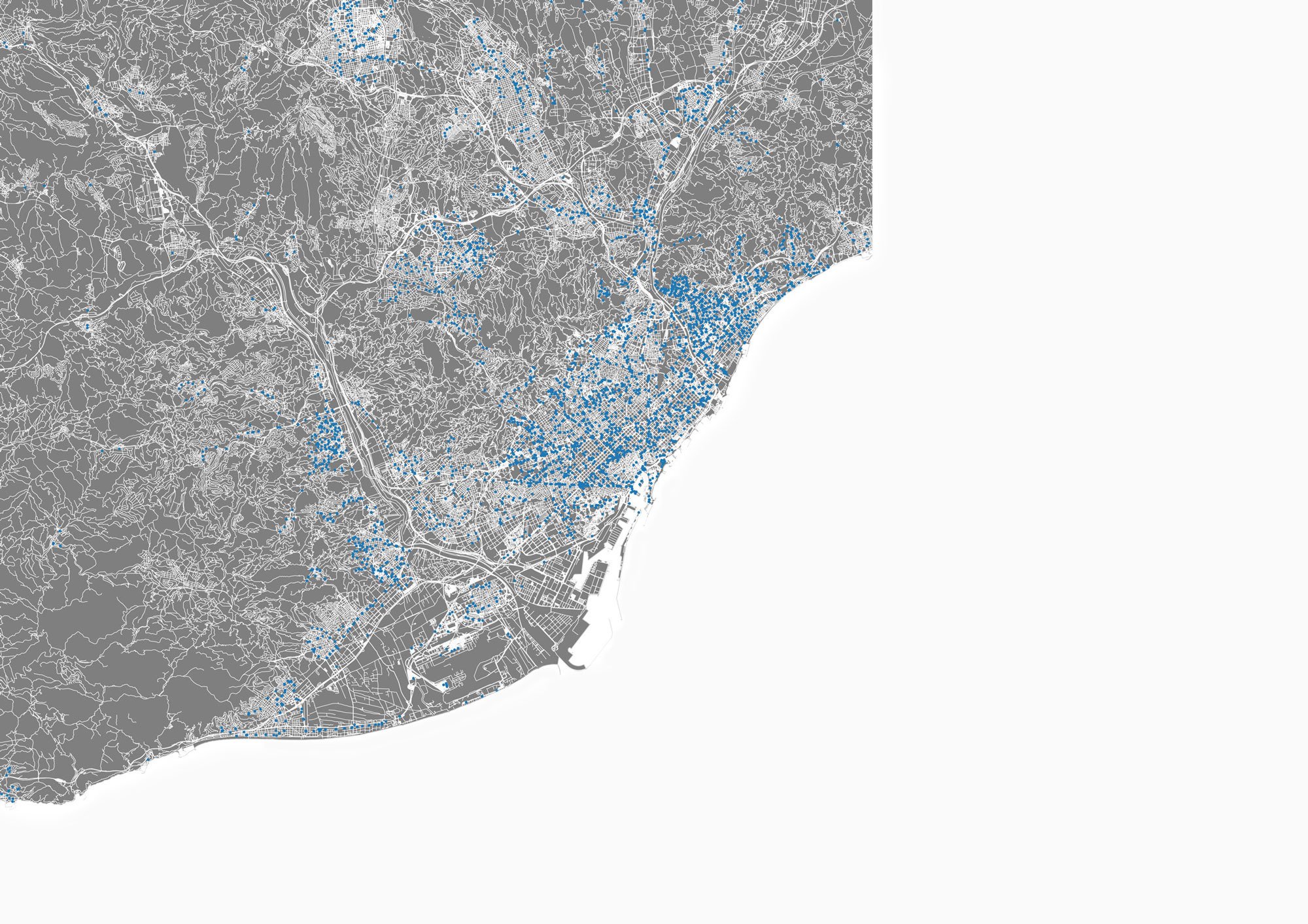
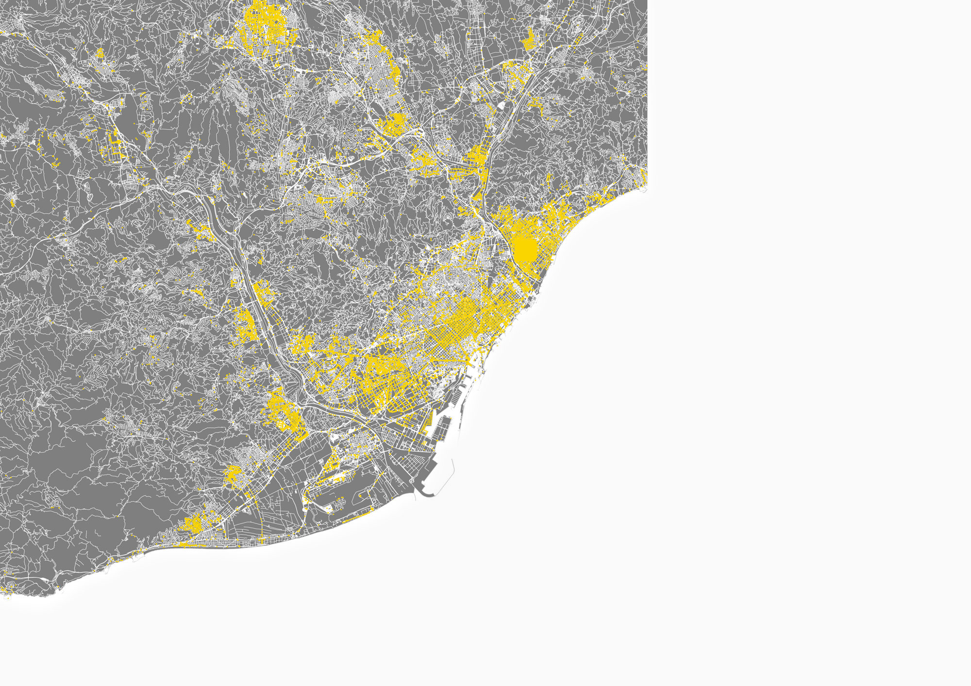
City Segmentation Analysis
Neural Network Correlations
Transport Policies Development
Is data-driven analysis unveiling the hidden potential of infrastructure needs and urban assets?
Today, available mobility data has revolutionized the approach to traffic engineering, transforming transport planning into a more proactive and specific field of work. This evolution defies the more traditional static approach to traffic engineering, which depended on generic case study-based manuals, which often contradict the very concept of forecasting as they base future (travel?) behaviour on evidence from the past.
Mobility data are providing behavioral data-sets that are more contextual with behavior patterns and reflective of location, as opposed to manuals which often feature data limited in sample size and geographic area. When properly analyzed, data has the capability to unveil the potential of any asset and reveal its benefits. The approach to urban analytics is a breakthrough in its capacity to transform specified information into an asset that can be utilized as an analytical tool to anticipate integrated cause-and-effect mechanisms that continuously feed into future forecasting processes.
We are leading innovative research activities aimed at collecting large-scale disaggregated data to support the design of gender-equitable and inclusive transport systems
How can Big Data change the way we plan cities?
In transportation planning, traffic counts and household/ personal travel surveys were historically conducted to collect travel behavior data. Today, available mobility data has created disruptive changes to this approach, placing the transport planner in a more proactive role and providing a set of analytical tools for any venture investor, city decision maker, or other planning experts seeking to improve urban mobility. Big Data for transportation is collected as anonymous and accurate location data from mainly two sources: Location Based Services (LBS) from applications installed on mobile devices and from navigation GPS systems in vehicles. Through complex algorithms, the data is processed and converted in mobility analytics metrics that can provide powerful insights on travel patterns, such as origin-destination matrices, trip length, travel speed, trip purpose, trip duration and socio-economics.
Tools
Big Data analytics and visualizations require a set of specialized tools adequate for processing and analyzing the data through complex computations.
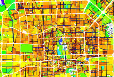
Geographic Information System tools are useful to visualize georeferenced structured data
Neural Network Algorithmics are used mainly to treat, correlate and score large datasets aimed to identify the most relevant properties any correlation exercise.
References projects