Dubai Hills Estate Spatial Analysis
Dubai Hills Estate is a large mixed use development in Dubai of 6.8 million sqm GFA and 135,000 residents. The project is divided in two parts: a southern part, more urban, of mid-rise buildings for offices, residential apartments and a mall, while on the northern part there is a large golf course surrounded by high-end town-houses / villas.
In this project, spatial analysis helped defining a strategy for project zoning, neighbourhoods and streets naming, as well as providing recommendations on the sizes and connectivity of different districts.
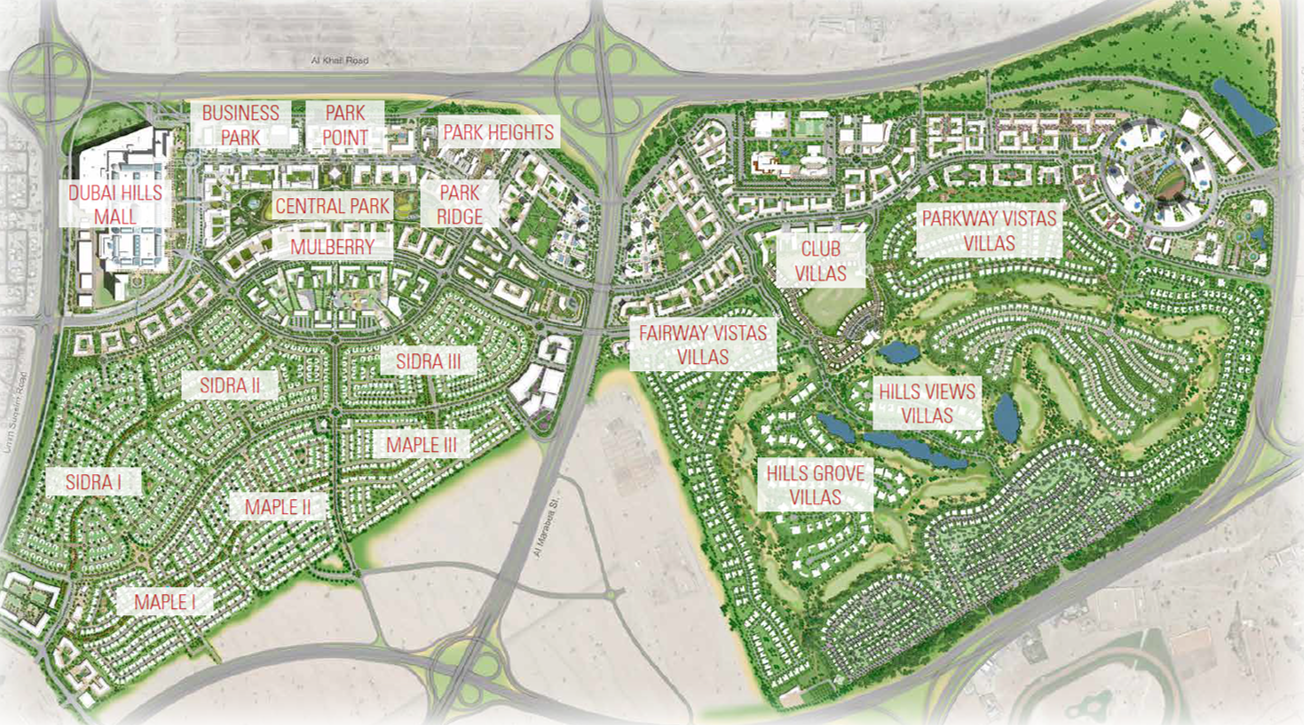
Dubai Hills Estate Masterplan
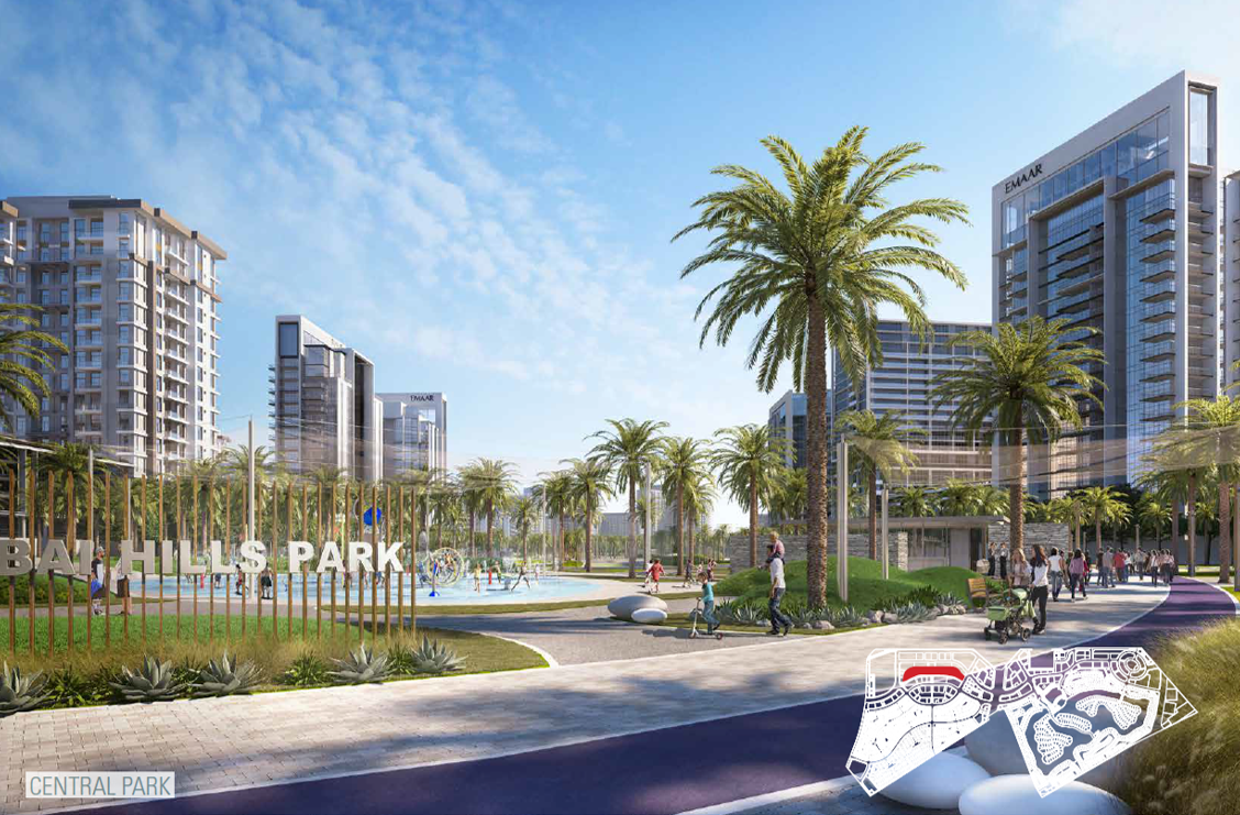
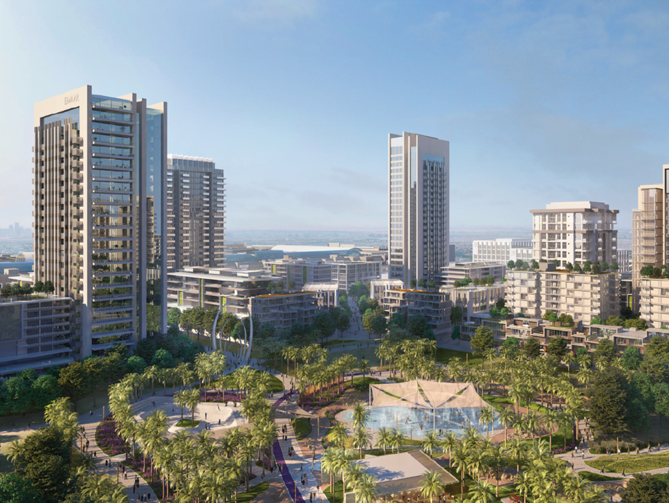
Dubai Hills Estate Central Park
© EMAAR
The spatial analysis of the road network helped identifying different roads identities and their vocation as key areas, local centers, main corridors and residential areas.
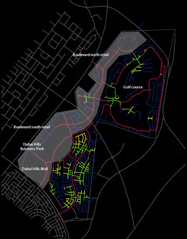
Roads Identity
© EMAAR
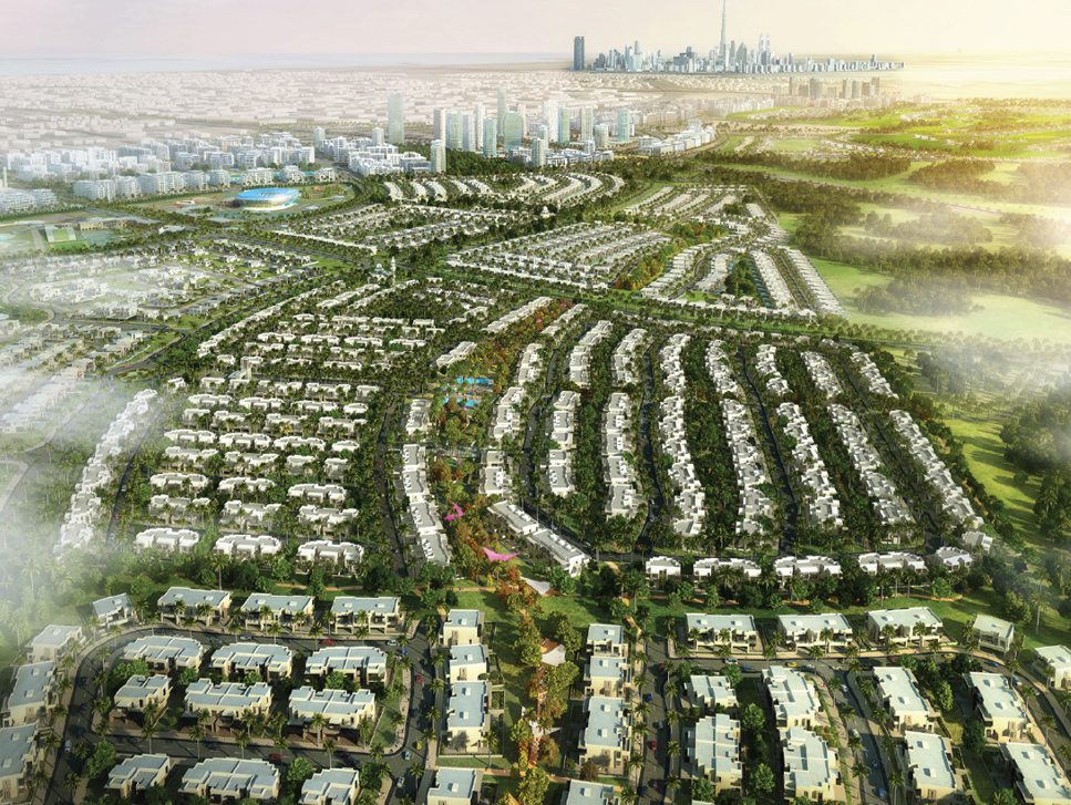
Dubai Hills Estate – aerial view
© EMAAR
Detailed analysis of pedestrian willingness to walk and streets configuration allowed to unlock the true potential for pedestrian movements: 23 local centralities were identified helping in defining the Master Plan neighbourhoods.
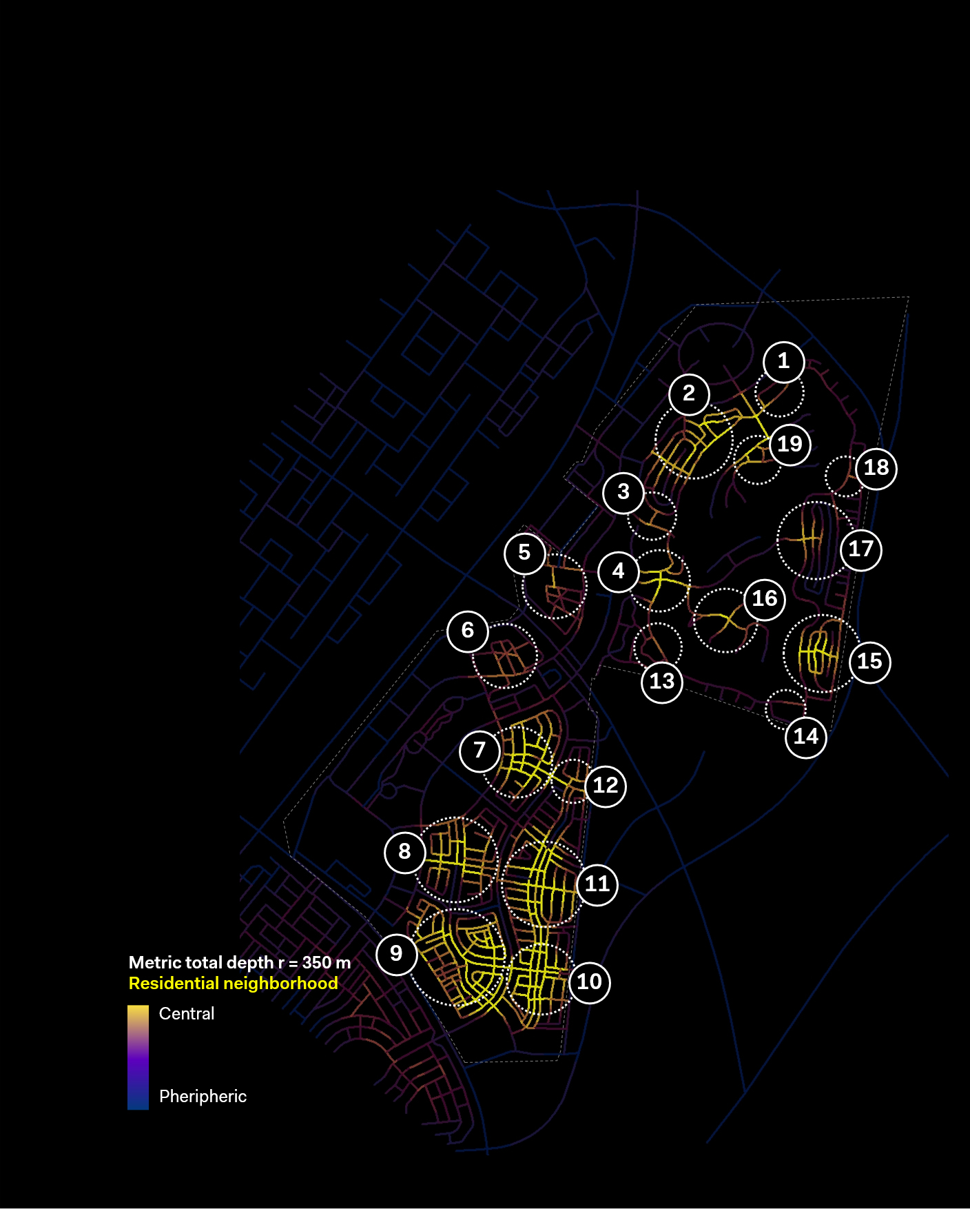
Pedestrian Centralities
Ready to transform your mobility challenges into sustainable solutions?
Get in touch