Supporting the construction Milan Metro Line 4 through advanced traffic and pedestrian analysis
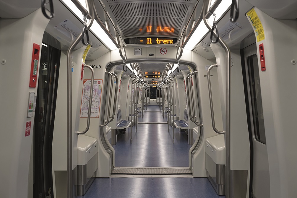
Milan Metro Line 4 is a significant public transport infrastructure project developed in Milan, which was inaugurated in 2024.
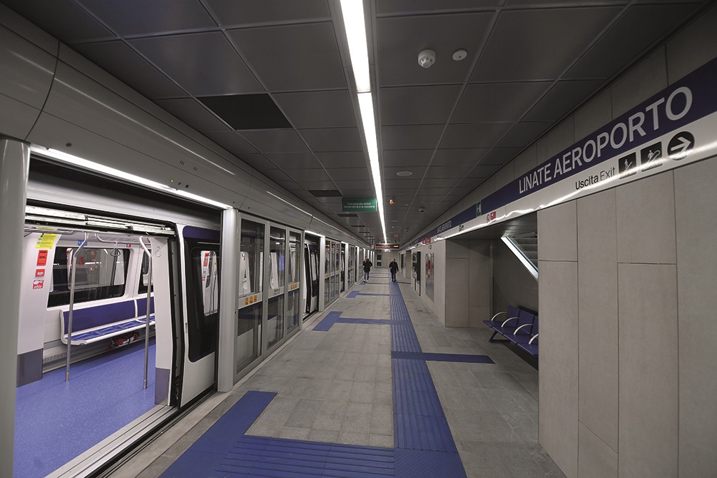
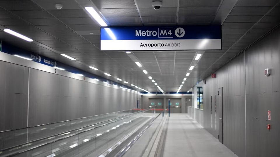
The fully automated light metro line connects Linate Airport in the east of the city with San Cristoforo railway station in the south-west, strengthening east-west connectivity and improving accessibility across the metropolitan area.
The line extends over 15.2 km, including service tracks and depot connections, and serves 21 stations, with strategic interchanges to Milan Metro Line 1 at San Babila, Milan Metro Line 2 at Sant’Ambrogio, and Milan Metro Line 3 at Missori.
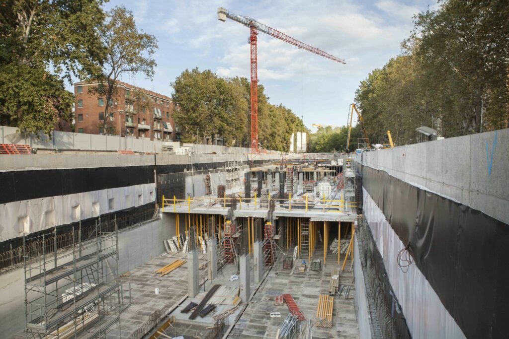
One of the project’s main challenges was the integration of major underground infrastructure works within Milan’s dense and historically sensitive urban fabric, particularly along the Cerchia dei Navigli, the city’s ancient Roman-medieval boundary. Minimizing disruption to traffic circulation and daily urban life during construction was a critical requirement throughout the project.
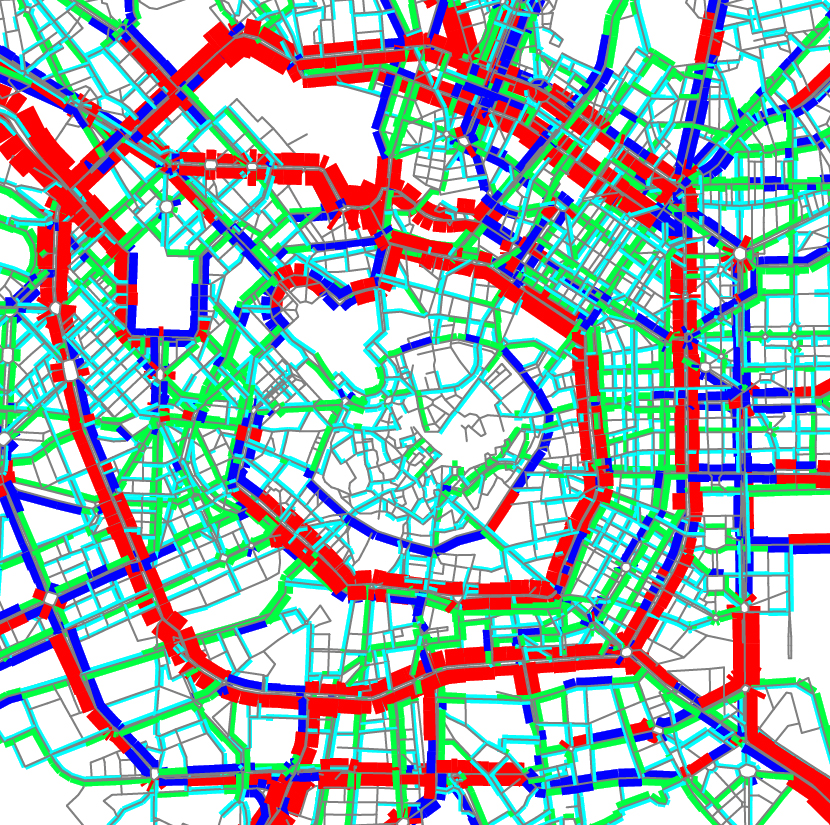
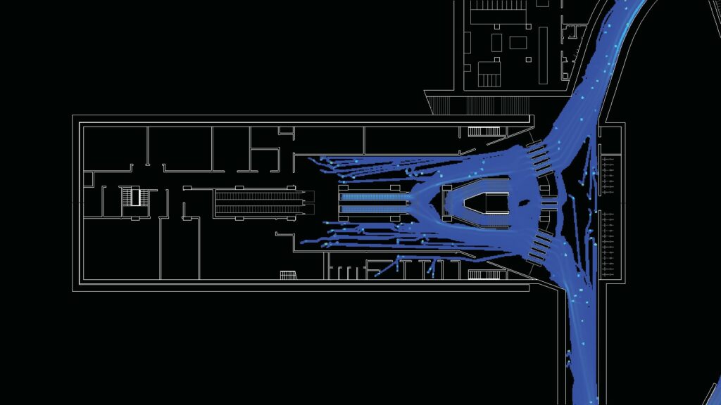
Systematica supported the definitive design phase by carrying out a traffic impact assessment of temporary road network configurations during the construction phases, and pedestrian flow simulations for the main stations.
Our work focused on evaluating the impact generated by the construction works on urban mobility and identifying strategies to guarantee network performance and high levels of accessibility, while ensuring efficient construction operations.
The study combined multi-scale transport modelling and pedestrian analysis through an integrated approach that involved four levels of study. In particular:
- Macro simulation at city scale using the Cube Voyager® software
- Dynamic micro simulation at district scale or complex intersection, using the S-Paramics® software
- Static simulations of single intersections using Sidra Intersections®
- Geometric functional evaluation using Autotrack®
At the same time, Systematica contributed to the design of the new stations by carrying out dynamic pedestrian simulation modelling for those station typologies, which were characterized by greater geometric complexity and higher functional demand.
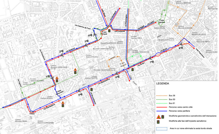
Systematica’s study identified alternative routes, effective traffic management strategies for the most heavily impacted intersections, and optimal planning coordination of overlapping construction sites in the area.
Continuous coordination between our team, the Municipality of Milan, and the general contractors ensured the progressive refinement of mitigation measures and operational strategies throughout the project development process.
By combining advanced traffic modelling, pedestrian analysis, and operational planning, Systematica contributed to the development of a resilient metro infrastructure that strengthens Milan’s public transport network.