Transforming a major Parisian multimodal hub and public area into a green, livable district
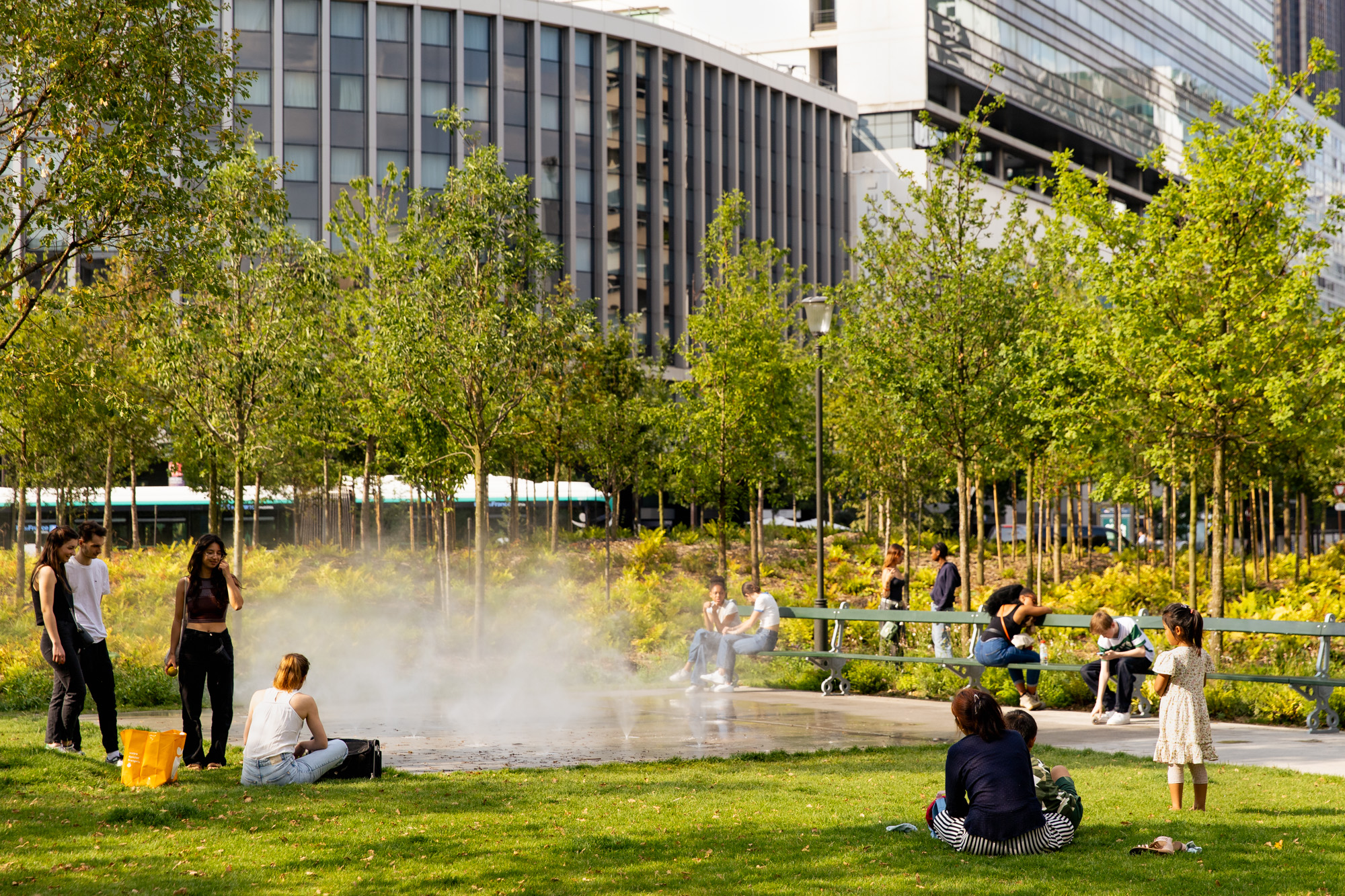
In 2018, the City of Paris the Real Estate Tour Maine-Montparnasse (EITMM) launched an urban competition to develop a global vision for the urban regeneration of the Maine-Montparnasse district.
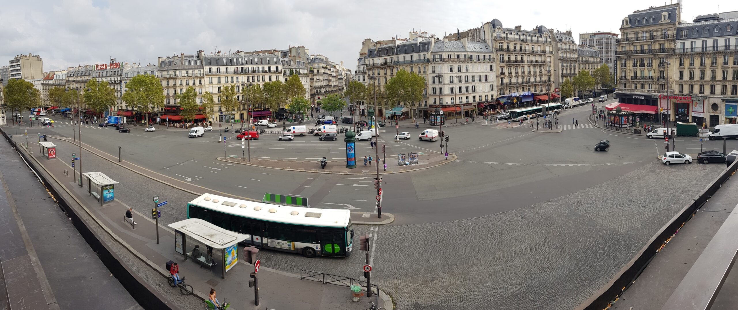
The goal was to reclaim public space for citizens by creating a human-scale, shaded urban environment and strengthening connections across the area, including the sites of Montparnasse Tower, Montparnasse Station, Place de Catalogne, Rue de Rennes, the corridor between Rue de l’Arrivée and Rue du Départ, and Place du 18 Juin 1940. The latter is located along one of Paris’ main circulation axis and represents a major intermodal node connected to Montparnasse railway station.
The car-oriented design of the site created a significant physical barrier for pedestrian and cycling flows within the district while slowing down the many bus lines that serve the area.
The Mayor of Paris at the time described the challenge as
This way, it could be adapted to contemporary climate commitments.
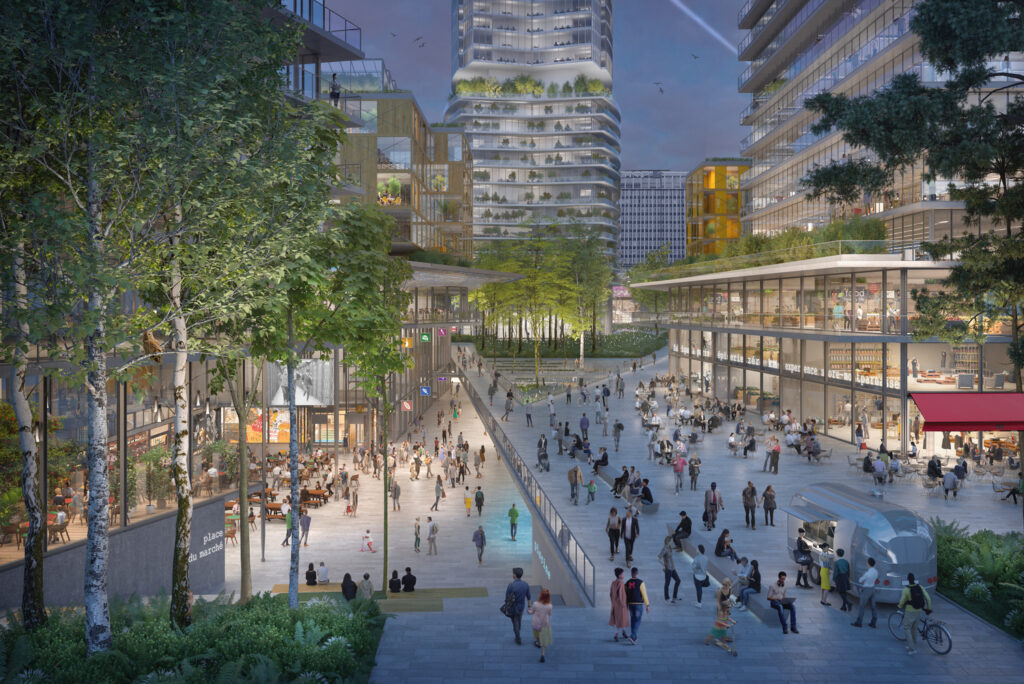
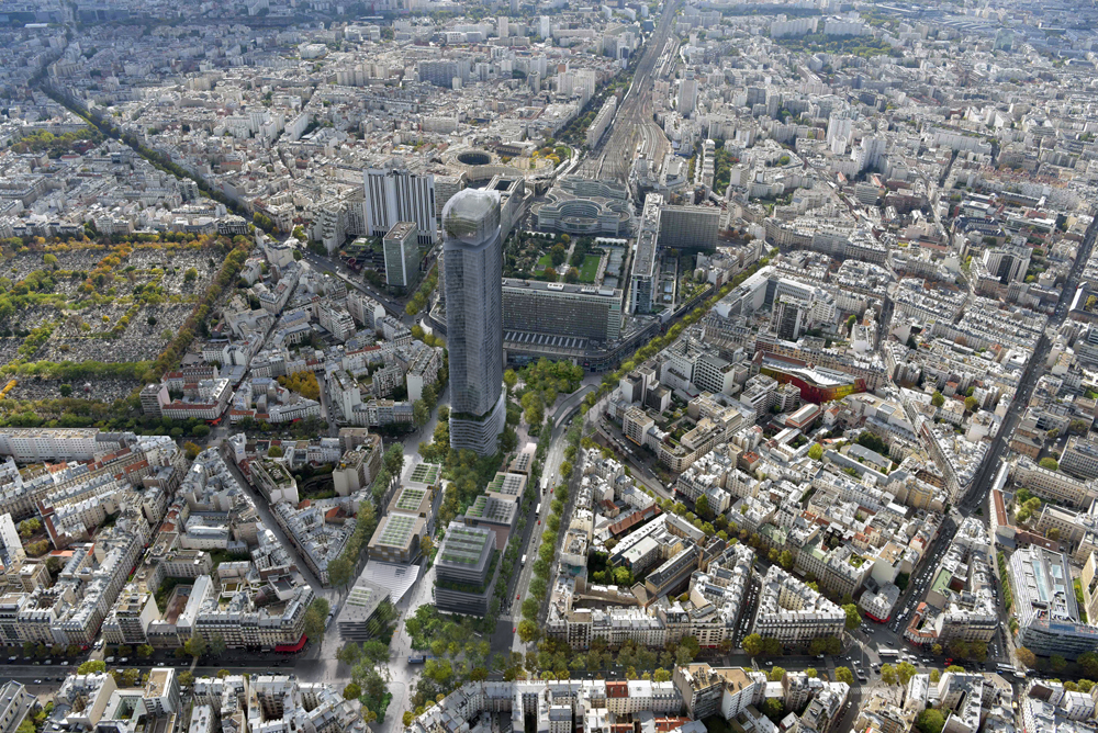
Systematica was part of the winning team led by Rogers Stirk Harbour + Partners (RSHP), thus contributing to the urban regeneration strategy for the Maine-Montparnasse district.
The proposal aimed to restore the area’s central identity, which was lost to slab architecture, massive superstructures, and disconnected spaces. The interventions needed to simplify the spatial layout, open up the site and create livable public spaces, while strengthening the connections with the surrounding neighborhood through direct, short and intuitive routes that follow pedestrian desire lines.
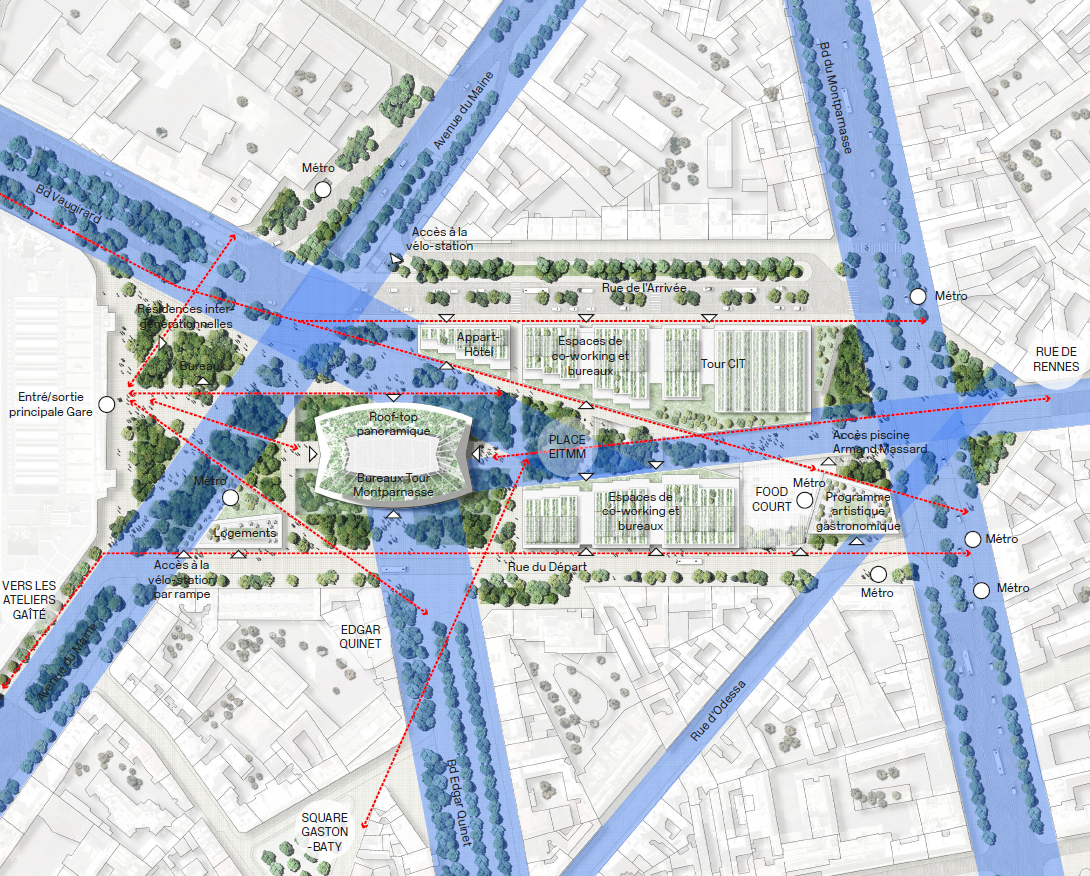
Systematica was also responsible for further developing the configuration of the Place du 18 Juin 1940 proposed during the competition phase.
The reconfiguration aimed to strengthen connections across the urban fabric of the district and create a functional, comfortable multimodal platform. Among the main goals were the facilitation of pedestrian crossings and the improvement of bus routes, which were complex and lengthy.
By rethinking traffic flows across the site, the project proposed the significant pedestrianization of surrounding streets, making wayfinding, walking and cycling easier.
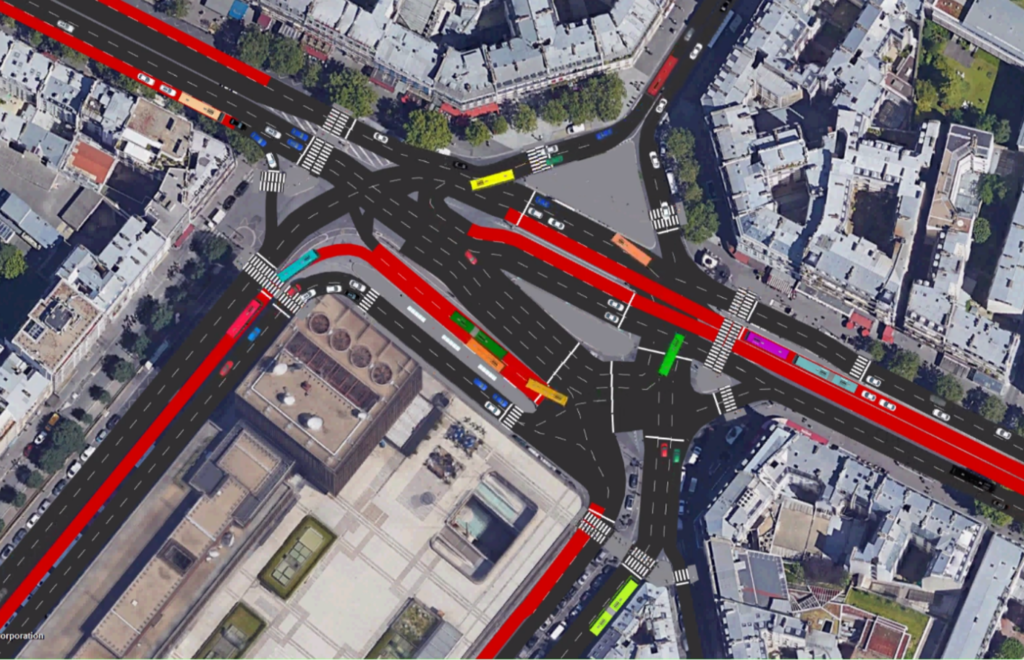
Systematica used micro-simulation modelling tools to test the existing and proposed junction configurations, and to define a detailed design of the Place du 18 Juin 1940 based on scientific evidence of junction performance.
The analysis demonstrated that simplifying the origin-destination (O/D) relationships allows the junction to become significantly more compact without compromising its capacity.
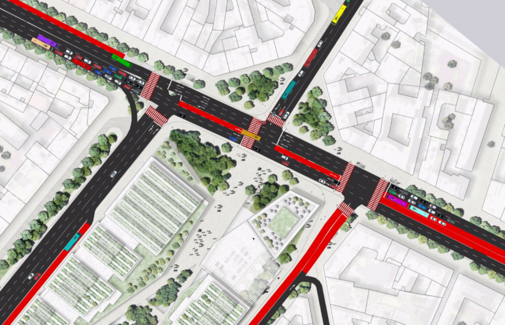
Overall, the mobility strategy for the district rebalanced the space allocated to road traffic and soft mobility, introducing shared streets and traffic-calming measures. These included reducing road infrastructure and incorporating an urban delivery hub and driverless shuttles.
The configuration Systematica proposed delivers measurable improvements to mobility performance.
The project therefore reverses the current balance between areas dedicated to road traffic and pedestrian-oriented public space, creating a more efficient and accessible multimodal hub.
As part of the low-carbon vision for this emblematic Parisian hub, the project was also set to introduce more than 1,000 trees, creating 10,000 sqm of green space forming an “urban forest” within the regenerated Maine-Montparnasse district.
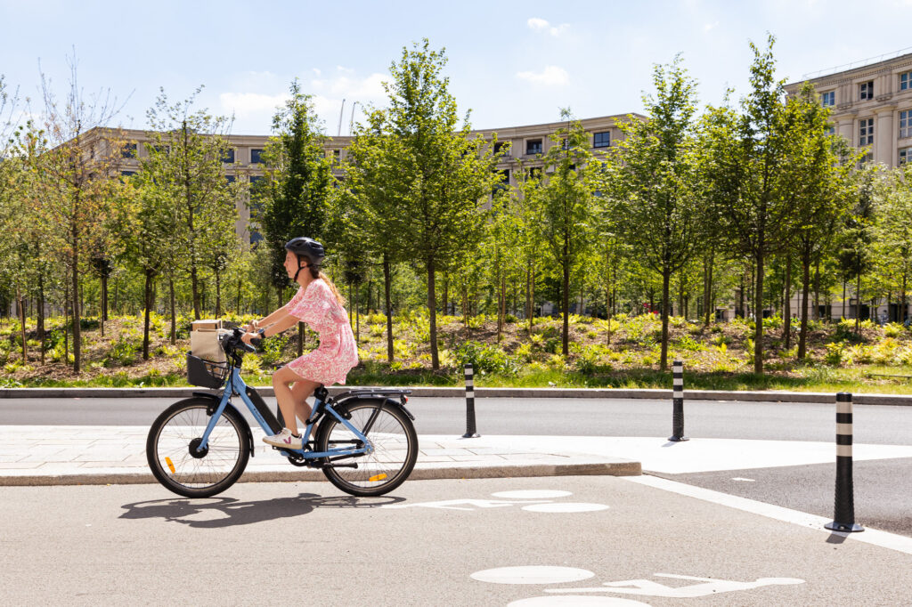
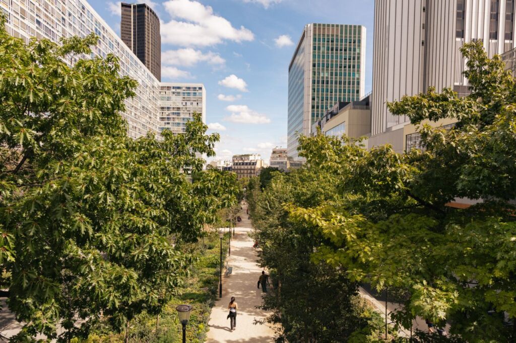
This vision began to take shape in 2026 with the complete redevelopment of Rue du Commandant-René-Mouchette, following the interventions at Place de Catalogne. The interventions introduced 3,000 sqm of greenery, a new pedestrian promenade and bike path in the center of Paris.