Main Output
-
National and Regional Transport Master Planning
Sustainable Urban Mobility Planning (SUMP)
Urban Paratransit Planning
Urban Pedestrian and Bicycling Network Planning
District Parking Plans
Brownfield / Greenfield Regeneration Projects
Transit Oriented Developments
Sustainable Neighborhoods / District Planning
Mixed-Use Real Estate Development Planning
Evacuation Plans
Transport Network Retrofitting Studies
Equal Access Audit and Planning (social and gender equity)
Universal Accessibility and Design-for-All Plans
Safe Routes to School programs
How can we adopt an adaptive planning process for creating a smart and resilient urban system?
The concept of smart and resilient cities blends the steps of the traditional planning process, one that previously followed a rigorous and lengthy sequence of events – planning, design, implementation, operation, testing, and validation. An approach that incorporates smart concepts and resiliency creates a more interdisciplinary process helps obtaining a product that adapts to the extracted real-time data.
As transport planners, we will need to plan and implement a system that is able to adapt to everchanging challenges, conditions and needs. This system will help to ensure that our cities and developments are time proofed and resilient. The creation of resilient cities through a smart and seamlessly connected mobility network has the ability to optimize infrastructure, connect remote and distant areas, promote ‘sub-urbanism’ and transform the city into a responsive platform that adapts to different functions, habits, and demographic constituencies.
We, as transport planners, need to implement a system that is able to adapt to everchanging challenges, conditions and needs to ensure that our cities and developments are time proofed and resilient.
How can Transportation Planning contribute to the success of development master planning and brownfield regeneration projects?
Accessibility and efficient transportation are crucial factors to unlock the potential of any urban development. A well-conceived and integrated mobility strategy will ensure the provision of adequate network capacity and functionality to matching future mobility needs, as well as creating high quality urban environments.
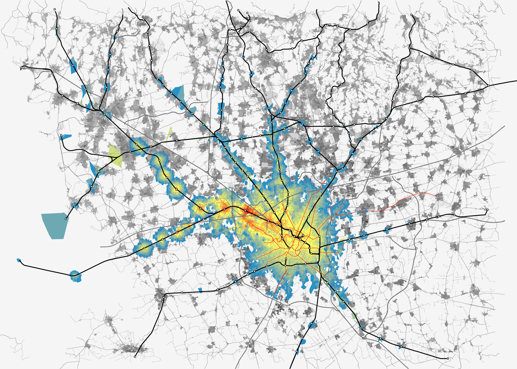
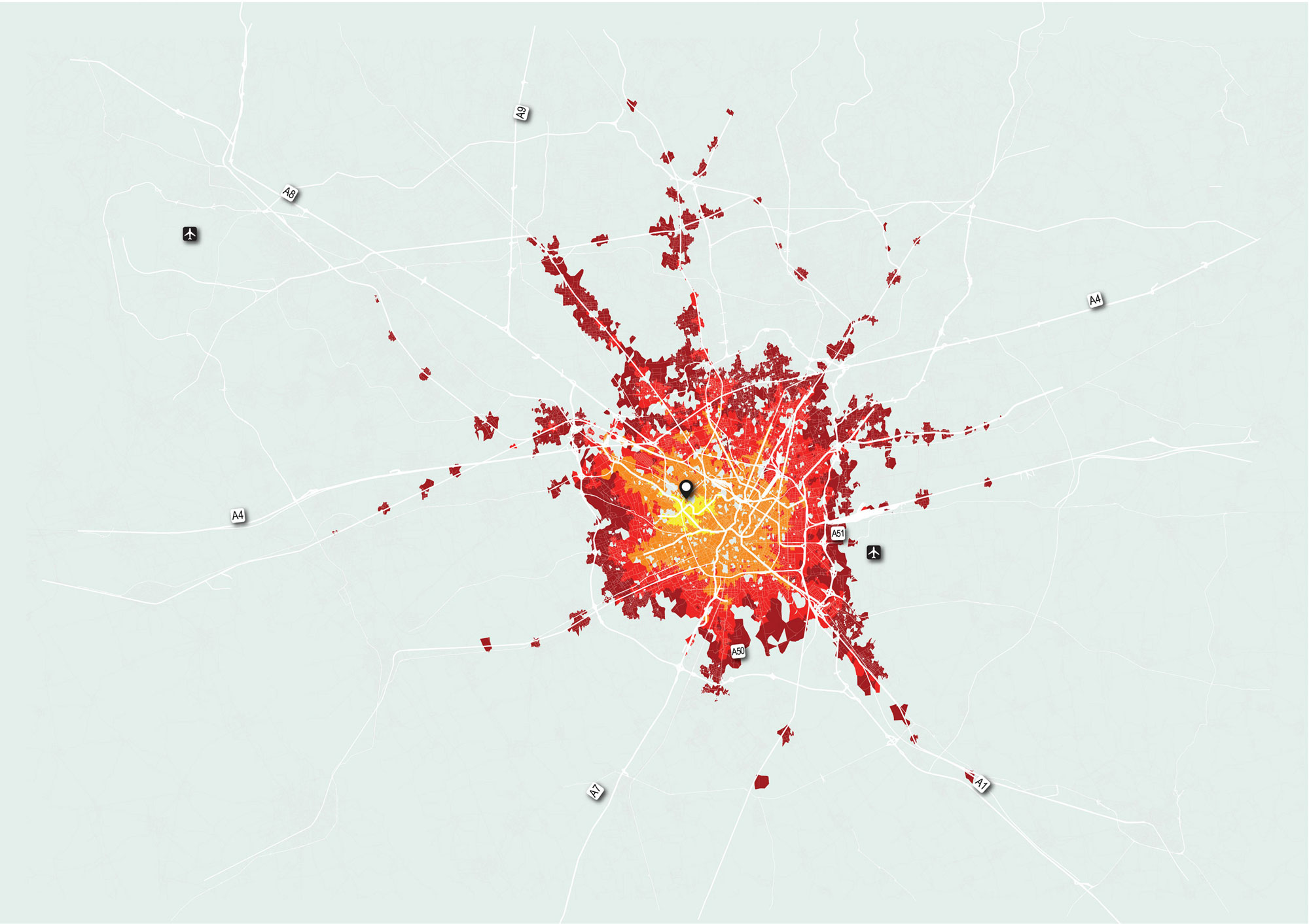
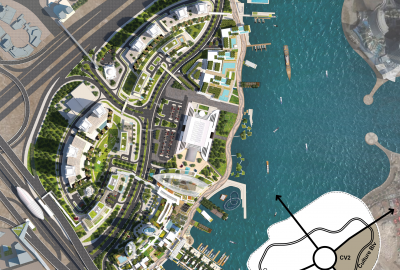
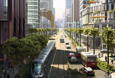
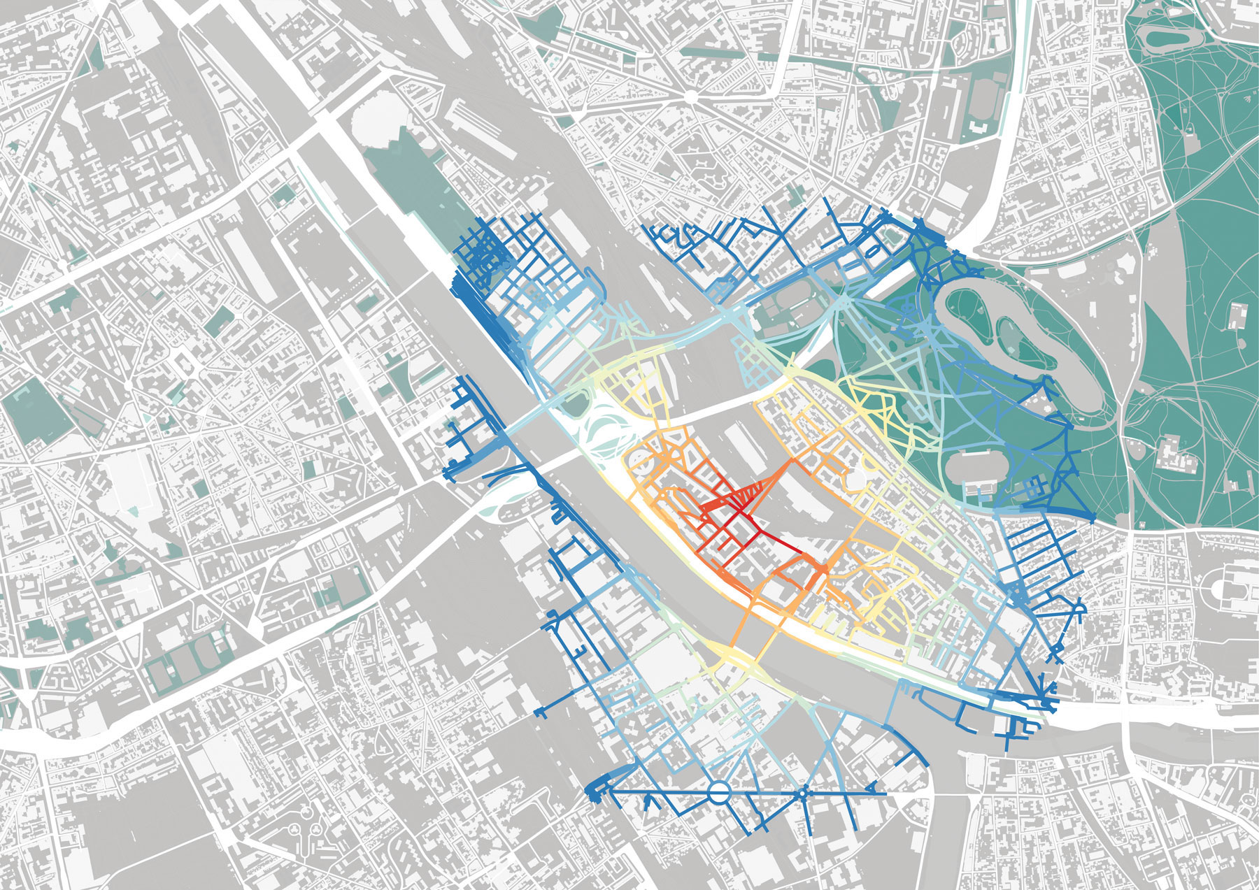
Land use distribution, road network reconfiguration, public transport accessibility, parking strategy, servicing and delivery strategy, pedestrian environment quality, open space connectivity and several others represent fundamental components for the success of new development projects. Development Transportation Plans are also supported by advanced multi modal macroscopic and microscopic traffic modelling for assessing the project impacts and the effectiveness of transport solutions and thus identify possible mitigation measures for all transport modes.
How will technology be used as a tool to increase the efficiency, multimodality and sustainability of transport network?
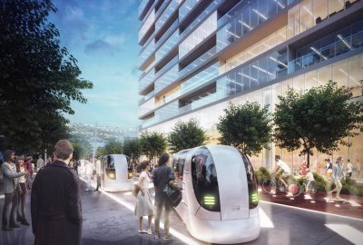
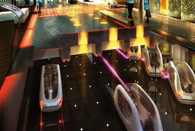
Intelligent mobility planning requires an innovative and multi-modal approach in order to address regional and local scales. Technological advancements allow for developing cognitive mobility systems aimed to optimize private traffic management schemes and public transport systems, establish efficient mobility sharing schemes, offer on-demand services, and regulate parking.
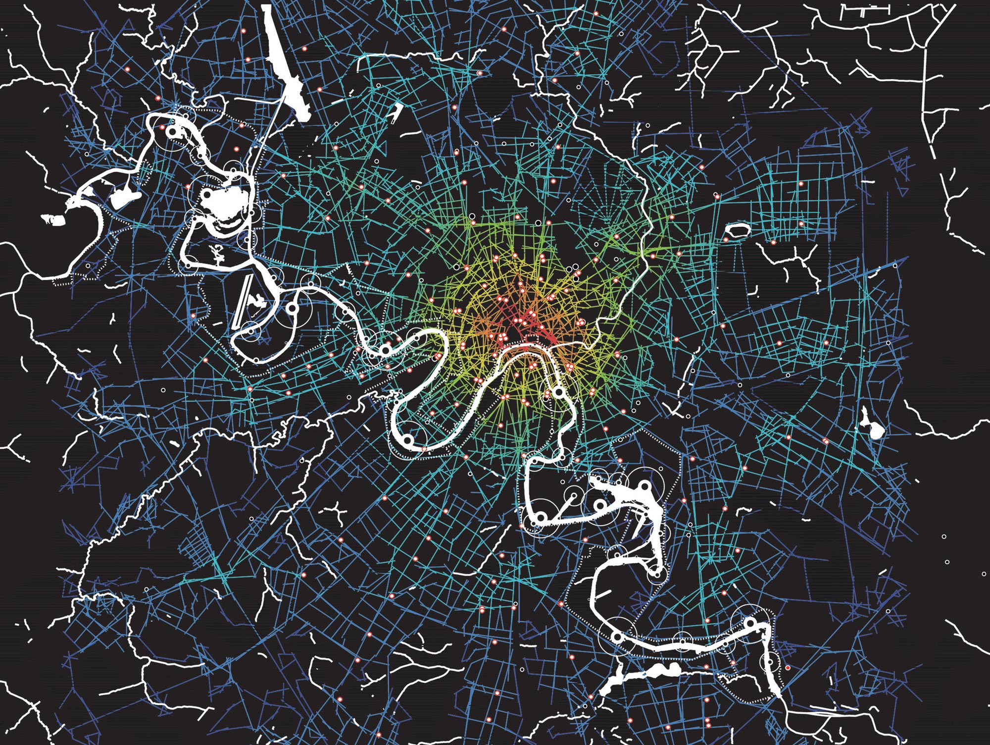
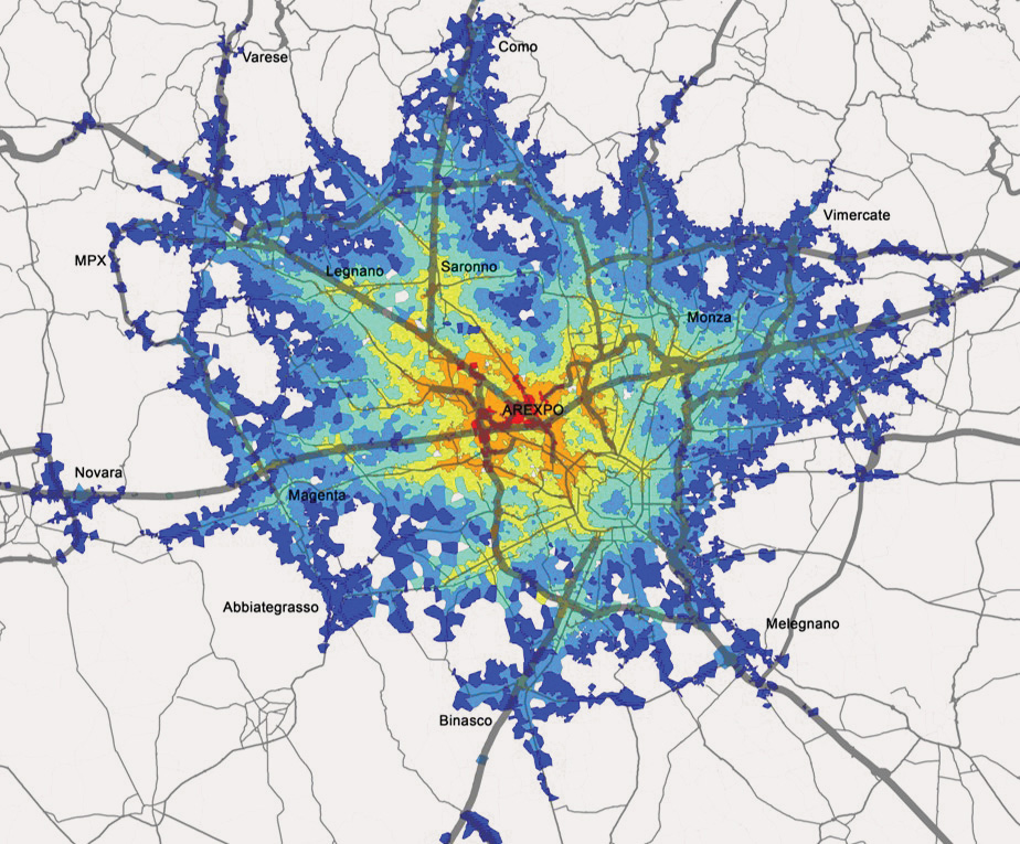
Modern transport systems will be based on a comprehensive provision of intelligent mobility infrastructure, coupled with a large array of smart, green mobility services. This results in an increasingly shared approach to transportation with positive outcomes in the form of less traffic, improved environmental quality, and new business opportunities.
How do adequately designed walkable networks contribute to the livability qualities of a Master Plan?
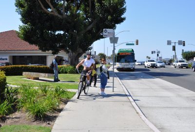
Walking is undoubtedly the most sustainable and convenient mode of transport for short distance trips at the urban scale and within mixed-use development master plans. A sound and reliable transport planning strategy considers pedestrians as the most important urban actors that will define the multi-fold pattern of mobility flows. Planning walkable cities and districts is a key for their success. The density of any development together, with its mixed-use nature, is complemented and completed by a walkable network that connects the different parts through a well-designed and integrated public realm. Walkable neighborhoods are safe, healthy and eco-friendly places to live, work and play in. The value generated from walkability in a city or a neighborhood has been a proven success for on-street retail units by activating the ground floor, providing vibrant places, and reducing the usage of motorized modes of transportation for short trips.

Tools
Urban and Development Master Planning requires a set of specialized multi-scale tools adequate for verifying performance and design standards compliance.
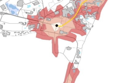
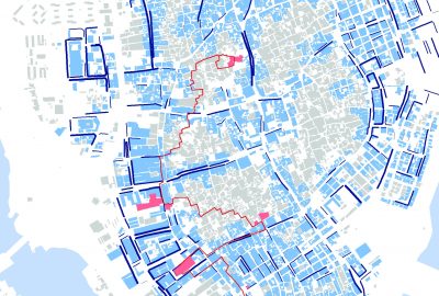
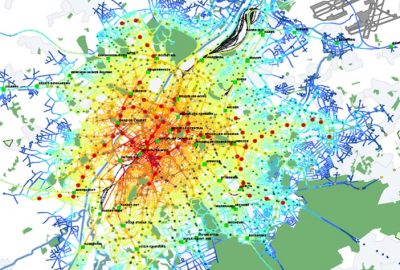
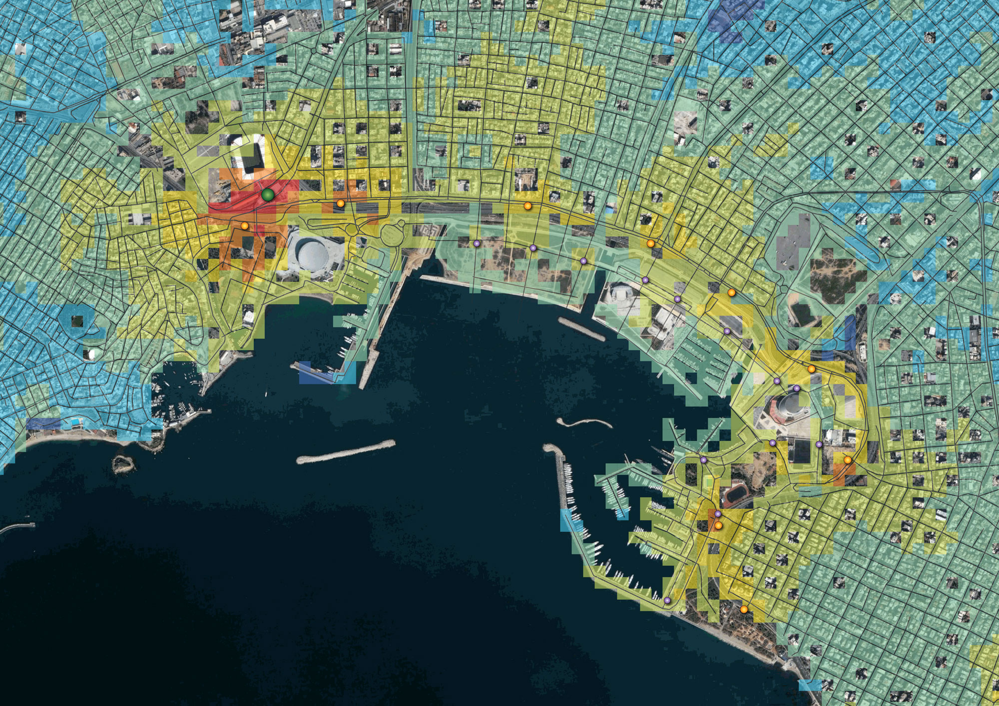
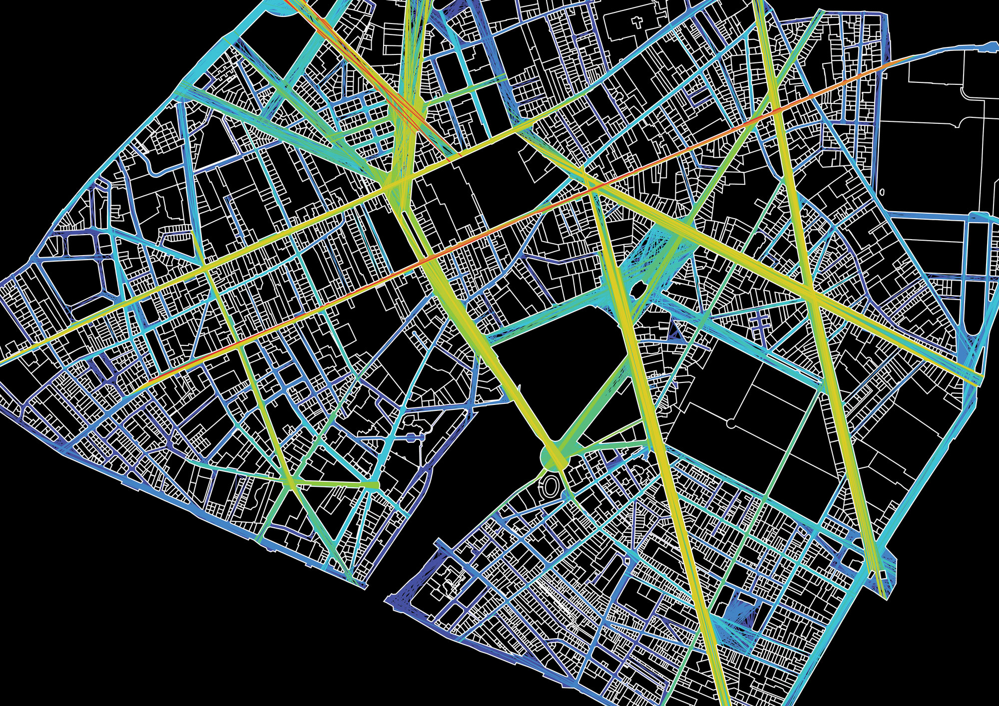
Network Morphological Analysis is a useful tool for unveiling hidden qualities intrinsic to the city network by defining hierarchies and distinctions among the most connected, integrated, and/or central segments of the network.
Spatial Perception Analysis is used mainly to evaluate perceptive characteristics prescribed by the spatial characteristics often prescribing pedestrian movements in any given space.
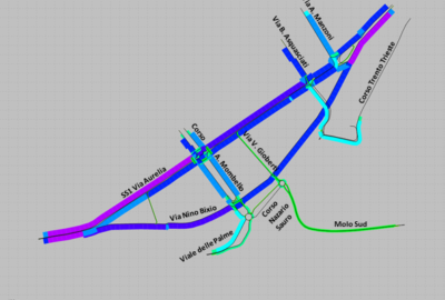
Macroscopic (static) vehicle traffic modelling is used as a multi-modal demand forecasting tool and a performance measurement tool.
Pedestrian movement gravity modelling is used to determine pedestrian traffic distribution patterns and desire lines based on the travel times, distances and impedance attributed to every segment and node of the system.
Microscopic (dynamic) traffic modelling is used to validate the functioning levels of any proposed network and measure the effectiveness of interventions while highlighting any undesired congestion situation that might be generated.
Junction Performance Analytical tools are used to measure the overall performance at signalized and non-signalized junctions based on indicators such as the average and maximum delay, queue lengths, etc.
Road design tools are used to ensure compliance to local standards/ regulations and world-best-practice standards, ensuring proper dimensioning and required safety conditions.
References projects
